
Saturday Front Brings Wind and Rain to Southern Colorado
Gusts up to 45 mph and half an inch of rain are expected as temperatures drop 15 degrees.
By Giovanni Serrano ·
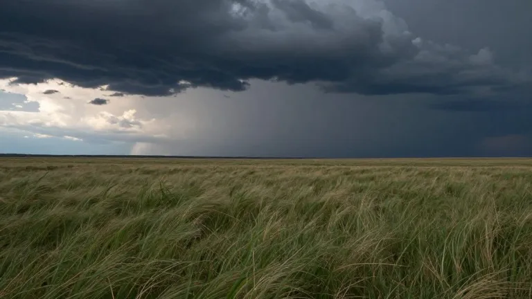
Southern Colorado entered the weekend with a sharp shift in weather patterns. A cold front is scheduled to cross the state early Saturday, bringing strong winds and a noticeable drop in temperature.
Forecasters predict gusts of 40 to 45 mph will sweep across the region Friday and into the weekend. Temperatures will fall by 10 to 15 degrees, moving from above average to below average levels. Total rainfall is expected to range from 0.10 inches to 0.75 inches across the area.
In Colorado Springs, Friday features a high of 73 degrees and a low of 51 degrees. A few showers are possible in the morning, followed by sunshine in the afternoon. Pueblo is forecast to reach 81 degrees with a low of 55 degrees, accompanied by on-and-off showers. Canon City will see a high of 75 degrees after a low of 54 degrees, with a brief pause in moisture during the afternoon.
Woodland Park remains above seasonal averages with a high of 56 degrees and a low of 43 degrees. Intermittent showers are expected there through Friday. On the plains, temperatures will hit 83 degrees with a low of 60 degrees, with a few stray showers possible. The mountains, including the San Juan range, face continued heavy rain and flood risks into Friday and the weekend.
Flood watches, severe thunderstorm watches, and flood warnings are currently in effect for the southwestern corner of the state. Heavy rainfall in the San Juan Mountains increases the risk of flooding and mudslides. Snow levels are expected to drop once the cold front passes through.
Tropical moisture will shift east, delivering additional precipitation to southern Colorado over the weekend. The extended outlook indicates that conditions will dry out next week, with temperatures returning to seasonal norms.
Source: KOAA News5
More News · Colorado Springs news · Report a business · Got a Story?