Sarasota Weekend Brings Storms, Flooding Risks, and Clock Change
King tides threaten barrier island roads tonight, while Sunday sets a First Alert Weather Day due to 80 percent rain chances.
By Olivia Grant ·
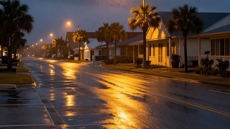
Residents in Sarasota face a collision of rising waters and heavy rain this weekend. King tides are occurring tonight, creating a risk of roadway flooding on the barrier islands. This threatens local travel before the main weather systems arrive.
Saturday begins with sunshine, but conditions shift after 2 p.m. as scattered showers and thunderstorms develop. The National Weather Service forecasts a 40 percent chance of rain, with high temperatures reaching the mid-80s. Wind gusts could hit 26 mph, adding to the discomfort for those celebrating Halloween outdoors.
Evening plans on Saturday may become damp. Scattered showers are expected until 11 p.m., followed by isolated showers through midnight. The overall probability of precipitation for the evening stands at 30 percent. Overnight temperatures will settle into the lower 70s, accompanied by a humid feel.
Sunday presents the greatest challenge for outdoor activities. An 80 percent chance of showers and thunderstorms has prompted a First Alert Weather Day designation. Highs will remain in the lower 80s, but breezy conditions and continuous rain periods are expected. This level of soaking weather marks a distinct break from typical late October patterns.
Rain chances drop to 50 percent on Monday before drier weather returns by Tuesday and Wednesday. No updates have been issued regarding tropical activity in the region. Daylight Saving Time ends on Sunday, requiring residents to set their clocks back one hour.
Source: WWSB